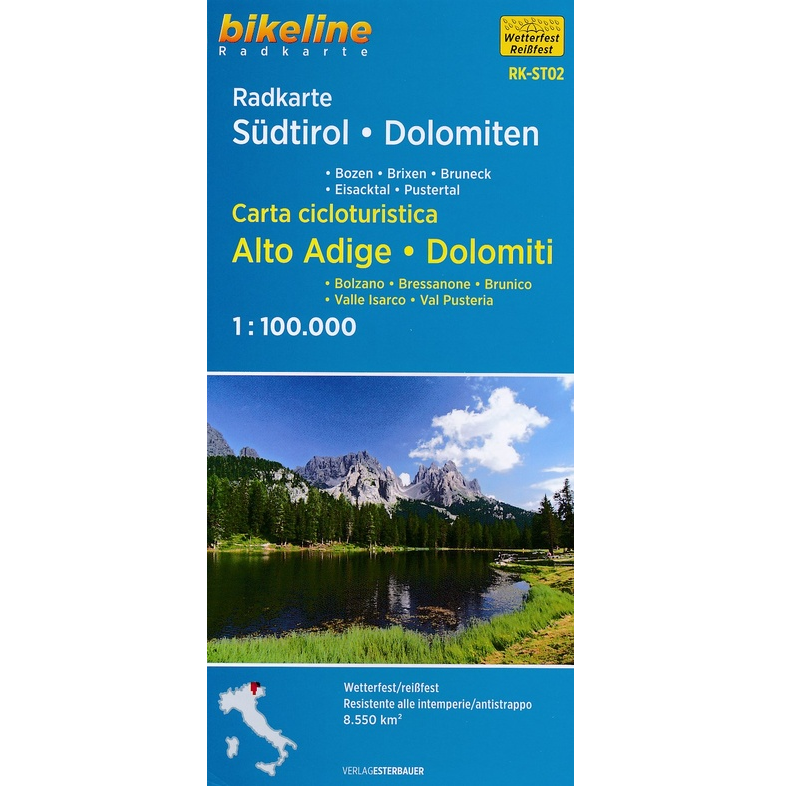
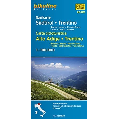
Description South Tyrol – Trentino Cycle Map This South Tyrol / Trentino Cycle Map cycling map has been specially developed for cyclists. The map is created at a scale of 1:100,000 This size of the scale gives a good overview of the selected region and also enables an accurate cartographic representation in detail. Bikeline has researched a dense network of cycle routes and cycle paths for you, which will enable you to experience this region intensively by bike. In addition to the most important long-distance cycle paths, numerous additional long-distance connections are marked on the map, resulting in a balanced main route network. The main route network is also consolidated by a sensibly selected secondary route network. This combination of main and side routes makes it possible to discover a region on day or multi-day tours or to cross the area on a longer bike tour on pleasantly rideable paths. Also featured: Bike information Tourist information Topographic information City and local maps Traffic Volume Gradients Accommodation Scenic sights