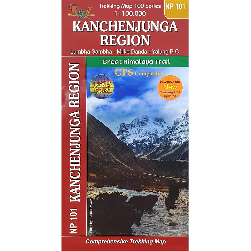
Description Kanchenjunga Region Map Nepal Kanchenjunga Region Map NP101, is a 1:150,000 scale waterproof, doule-sided, tear-resistant trekking map from the Himalayan MapHouse in their series covering the whole of northern Nepal. The map highlights main trekking routes from Taplejung, including Kanchenjunga Base Camp Trek, Yalung Base Camp Trek, Phathibhara Trek, the route along the Yangma Khola and Pabuk Khola towards the Ghari pass on the Tibetan border, plus the relevant sections of the GHT Cultural Trail and the GHT High Route. Also covered are Lumbha Sambha and Milke Danda. Contours are at 40m intervals. Route profile shows the Kanchenjunga section of the GHT High Route between Thudam and the Kanchenjunga Base Camp. Cartography in these waterproof editions, first published in 2011, is identical to what Himalayan MapHouse use in most maps in their other series, published under the Nepa Maps imprint. Contours are at intervals of 80m or 40m (please check individual descriptions), with relief shading plus colouring to show different types of terrain or vegetation. The maps show names of numerous chains, peaks glaciers, valleys, rivers, lakes, etc. Main trekking routes are prominently highlighted, as are selected settlements along them, indicating where tourist accommodation and other services are provided. Also clearly marked are campsites or base camps and various places of interest. The maps also show other local trekking paths, often providing variants or shortcuts to the main routes. The maps are not indexed. Latitude and longitude coordinates are given as margin ticks at 5’ intervals. Unless indicated to the contrary in its individual description, each map also includes a profile of the main trekking route(s) across its area and provides on the inside cover other relevant information, including stage-by-stage distances and timings. The maps are published on thick, sturdy, waterproof and tear-resistant plastic.