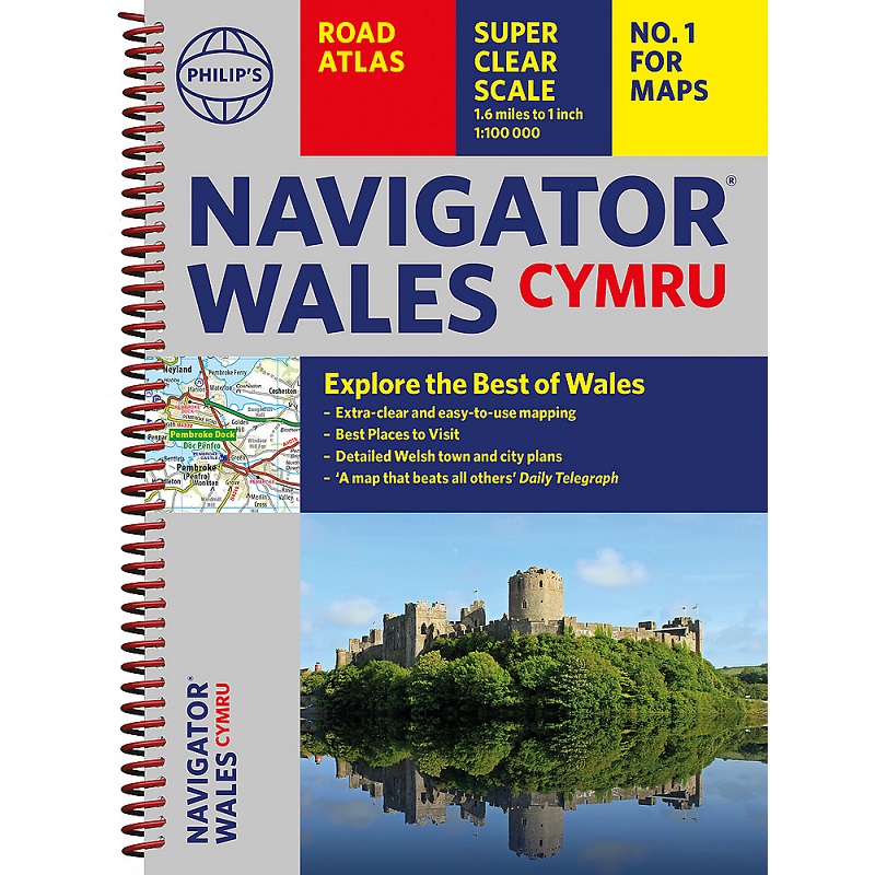
Description Navigator Wales Road Atlas Explore the many attractions of Wales with this easy-to-use Navigator Wales Road Atlas and guide to the top spots from Philip’s, the best-selling road atlas brand. With all you need for travelling in Wales: Easy-to-read mapping, superb detail and top travel tips make this the ultimate road trip companion. – Unrivalled level of detail from motorways to country lanes. – Exceptional clarity at a scale of 1.6 miles to 1 inch (1:100,000). – Ideal for explorers: heritage sites, spectacular sights, and the best walks around Snowdonia, the Brecon Beacons, the Pembrokeshire Coast and more. – Tourist attractions and places of interest clearly highlighted, from Caernarfon Castle to St David’s Cathedral. – Indexed town plans for all major centres, including Aberystwyth, Bangor, Cardiff, Holyhead, Llandudno, Llanelli, Merthyr Tydfil, Newport, Newtown, Swansea, and Wrexham. – Packed with hundreds of individually named farms, houses, and hamlets, alongside airports, airfields, stations, ferries, canals, and harbours. – Key to map symbols are clearly indexed and shown in English and Welsh.