YIPPR.ES ≡ Torani Europe Maps Grassland Machinery Rochester Midland
  • Vintage Maps

  • Jarman’s Map of Hobart Town 1858

Jarman’s Map of Hobart Town 1858

$12.54 $15.3
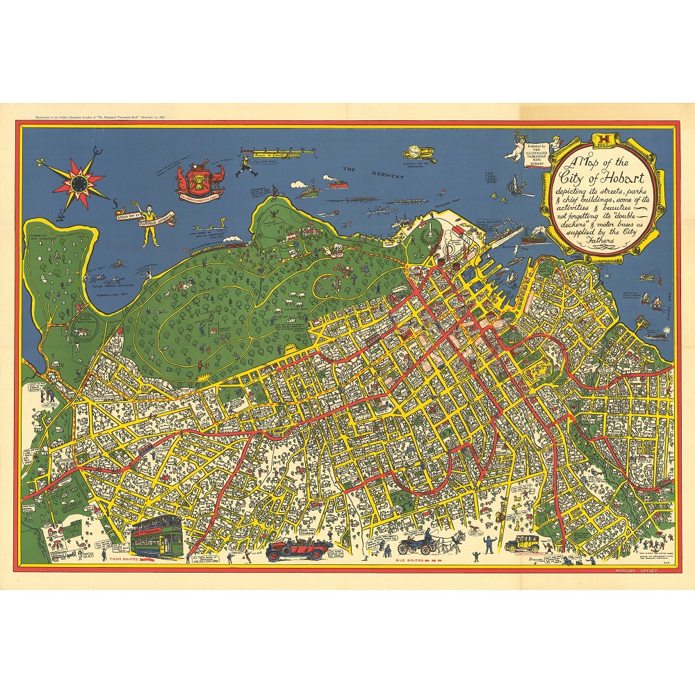
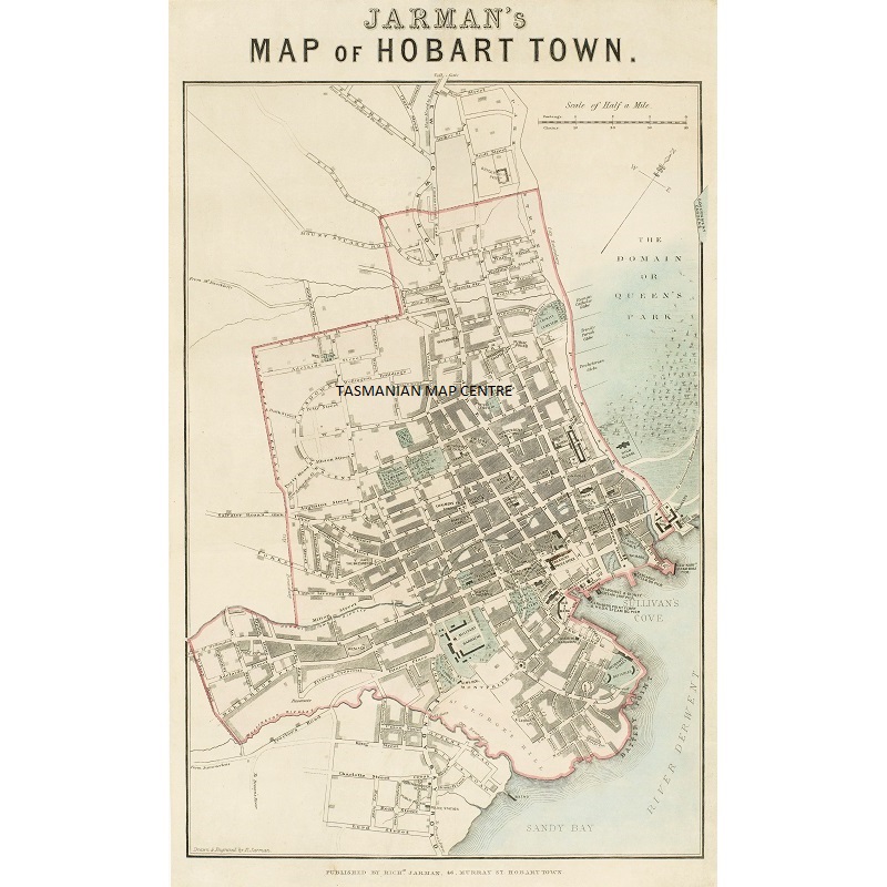
Description Jarman’s Map of Hobart Town 1858 Jarman’s Map of Hobart Town 1858 is reproduced on high-quality 250gsm stock and is available in store or online. Richard Jarman (1807-77) was an English map-maker, artist and engraver who emigrated to Tasmania with his family in 1857. This map is one of the earliest maps of Hobart Town and focuses on the area bounded by the Domain, New Town, Mount Stuart, Knocklofty Terrace, D’Arcy Street, Wellington (now Sandy Bay) Rivulet and the Derwent River.
Vintage Maps

Vintage Maps

  • Aboriginal Tribes of Australia Map 1940
    $24.12 $46.31
  • Map of the City of Hobart 1927
    $21.78 $26.57
  • Thomas Scott Van Diemen’s Land 1824
    $36 $45.72
  • Typus Orbis Terrarum Map Print
    $26.92 $51.69
  • Van Diemen’s Island Tasmania 1851 Print
    $36 $53.64
  • Australia Tallis Map Print
    $36 $64.44
  • Port of Hobart – Deep Water Port Australasia Print
    $16.74 $31.81
  • Tasmania 1859 – James Sprent
    $18 $25.38
  • Hobart Town ‘Balloon’s Eye’ Sketch Print
    $21.86 $29.29
  • Tasmanian Shipwrecks Map
    $11.96 $14.83
  • Melbourne Bird’s-Eye View Print 1871
    $54 $95.58
  • Freycinet Chart 1802
    $36 $46.08
  • Nova Totius Terrarum Orbis Geographica
    $30.8 $54.82
  • Jarman’s Map of Hobart Town 1858
    $12.54 $15.3
  • Antarctica 1939 Wall Map
    $23.91 $44.47
  • Robinson’s Aeroplane Map of Sydney
    $21.07 $40.24

© 2026 - YIPPR.ES